Phosphorus levels have been singled out by the Washington State Department of Ecology (DOE) as a significant contributor to the impairment of the water quality of the Walla Walla and Snake Rivers. While already a component of the Water Quality Index (WQI), it consequently is treated as a separate indicator. The DOE's water quality improvement plan calls for a reduction of phosphorous levels in the state's rivers over a 20-year period. Meeting these reductions in the Walla Walla and Snake Rivers portends major changes for the residents of Walla Walla County.
A modest increase in phosphorus can, under the right conditions, set off a whole chain of undesirable events in a stream including accelerated plant growth, algae blooms, low dissolved oxygen, and the death of certain fish, invertebrates, and other aquatic animals. There are many sources of phosphorus, both natural and human-made. These include soil and rocks, wastewater treatment plants, runoff from fertilized lawns and farms, failing septic systems, runoff from animal manure storage areas, disturbed land areas, drained wetlands, water treatment, and commercial cleaning preparations.
The DOE bases the Phosphorus Water Quality Index (PWQI) on a monthly sample from both rivers and then uses a quadratic equation to calculate the PWQI for each month. The three lowest monthly PWQI scores are then averaged to arrive at the annual PWQI. Different eco-regions utilize different equations to compute PWQI. The Snake River and the Walla Walla River are part of the Columbia Basin eco-region, which generally uses higher phosphorous thresholds than its neighboring Northern Rockies eco-region.
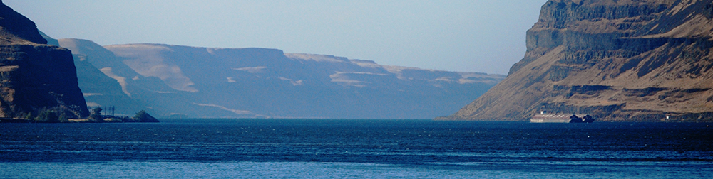
This indicator measures the phosphorus content in the Walla Walla River and the Snake River. The phosphorus content is one component of the overall Water Quality Index (WQI), (See: Indicator 3.1.1). According to the Washington State Department of Ecology, the water quality measuring station on the Walla Walla River is located “approximately three river miles upstream from U.S. Hwy. 12” while the Snake River is measured near Pasco “on U.S. Hwy. 12 near Burbank at Hood Park.”